Why in News?
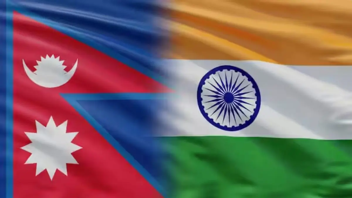
India and Nepal have agreed to complete the mapping of land occupied across their shared border within three years. The joint survey is expected to begin after the monsoon, around September or October 2026. The exercise will use Unmanned Aerial Vehicles (UAVs) to identify areas where people from either country are living or cultivating land that falls on the other side of the boundary.
Key Points
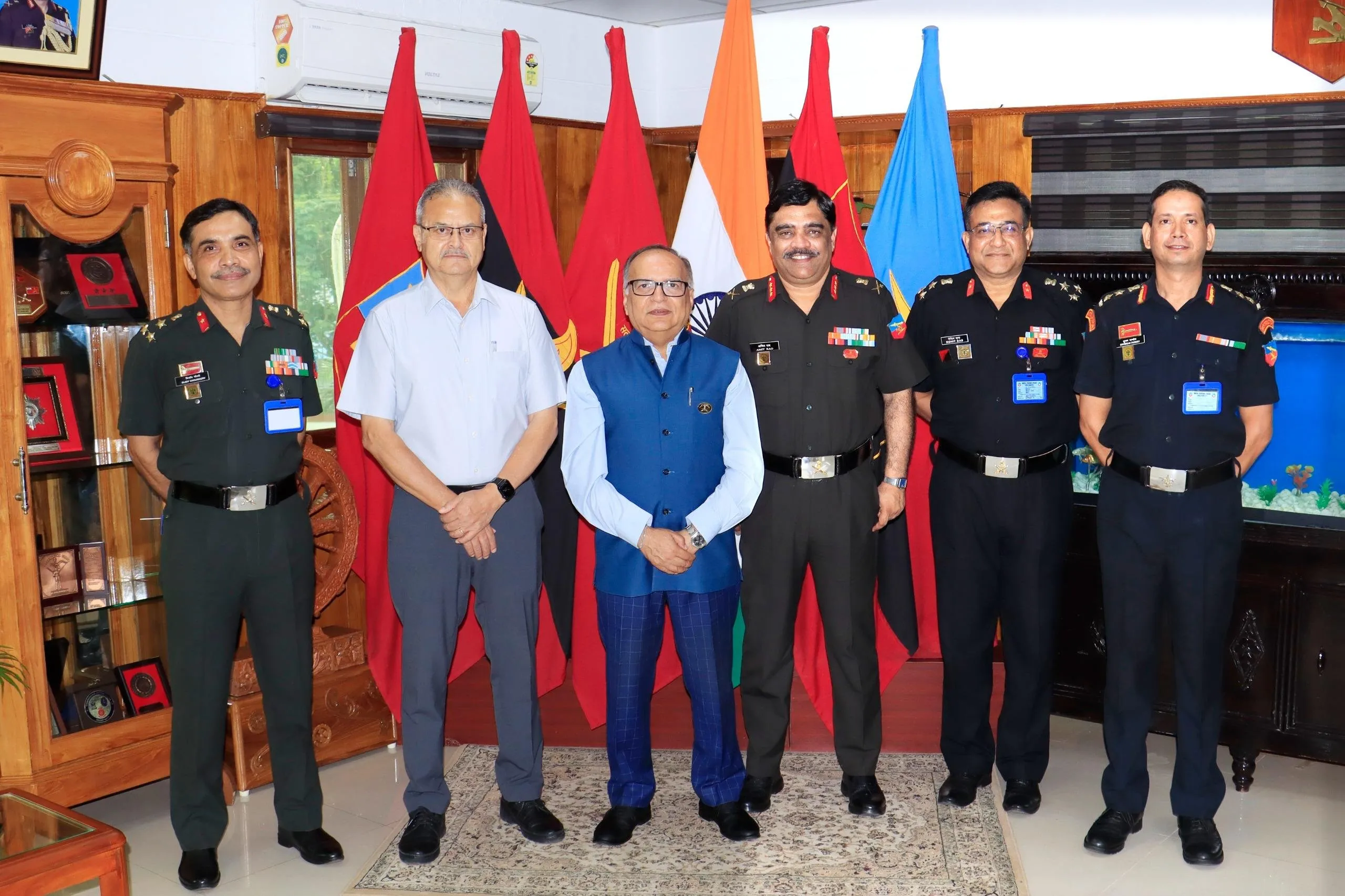
- The decision was taken at the 13th meeting of the Survey Officials' Committee (SOC) held in Lucknow.
- UAVs will be used to capture aerial images of areas affected by cross-border land occupation.
- Officials from both countries will jointly examine the images and prepare a common technical assessment.
- The survey will help identify the extent of occupation but will not immediately decide ownership of the land.
- The exercise is expected to begin after the monsoon and will be completed within the three-year target.
- India and Nepal share a border of around 1,880 km, covering 27 districts of Nepal.
- Nepal has reported 8,554 boundary pillars along the border. Of these, 1,325 are missing and 1,956 are partially or completely damaged.
Why Has the Issue Arisen?
The problem is partly linked to changes in the course of rivers along the India-Nepal border.
- In several riverine areas, the boundary was fixed using the Fixed Boundary Principle.
- Over time, changes in river courses have altered the physical landscape around the boundary.
- In some places, people from both countries have continued to live on or cultivate land that technically falls across the border.
- This has created difficulties in identifying the exact position of the boundary and has affected local communities.
- The issue gained attention after Nepal Prime Minister Balendra Shah raised concerns about land being occupied by citizens of both countries. Nepal's Foreign Ministry later clarified that the issue was related to cross-border occupation and use of land, rather than a formal territorial claim.
Earlier Mapping Efforts
- India and Nepal had earlier signed 182 sets of strip maps in 2007, which identified several areas where citizens of one country were cultivating or residing on land belonging to the other side.
- The new UAV survey is expected to provide updated and more detailed information about these areas.
Role of the Boundary Working Group
The technical exercise is being carried out under the Boundary Working Group (BWG), which includes the survey authorities of India and Nepal. Its responsibilities include:
- Conducting joint field surveys.
- Checking and maintaining boundary pillars.
- Constructing new pillars where required.
- Recording changes along the boundary.
- Preparing technical information to support discussions between the two countries.
The Susta and Kalapani-Limpiyadhura-Lipulekh areas are outside the current three-year technical timeline.
Significance
- Better boundary mapping: UAVs can provide detailed aerial data from difficult-to-access areas.
- Reduction in local disputes: Clear information may help address disputes related to farming and settlement.
- Improved border management: Updated maps and boundary records can make border management more effective.
- Protection of local communities: Clearer identification of the boundary can reduce uncertainty for people living near it.
- Stronger India-Nepal cooperation: Joint technical work can help both countries address local border issues through dialogue.